Guide
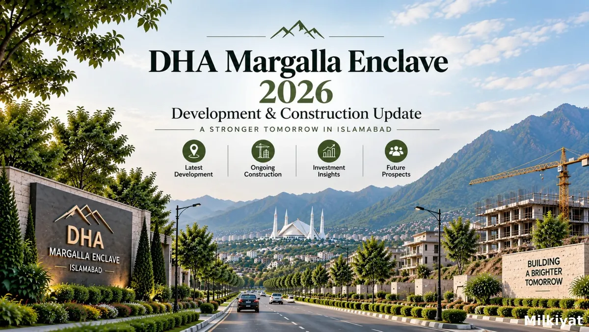
DHA Margalla Enclave 2026: Development & Construction Update

By Bibi Masooma
Real Estate AnalystVerified author
14 min read
Short answer:
DHA Margalla Enclave Islamabad is a CDA–DHA joint development in CDA Zone IV, located on CDA land in the Kuri revenue estate near Chak Shahzad. The project covers 10,000+ Kanal and includes ME-1, ME-2, ME-3, ME-4 and the Lake District. Development includes boundary walls, the 300-foot boulevard, internal roads and underground utilities, with first possession announced for selected ME-2 streets in 2026. However, the Park Road underpass and planned Srinagar Highway link are not yet complete.
This guide focuses on physical development: roads, access, utilities, site works and possession. It does not attempt to estimate plot prices, rental yields or the cost of building a house. For those questions, readers should consult a dedicated property-market guide and a living guide rather than treating construction progress as a substitute for market research.
What DHA Margalla Enclave is, in plain terms
DHA Margalla Enclave is a joint development between the Capital Development Authority (CDA) and Defence Housing Authority Islamabad (DHA Islamabad). The scheme is being built on CDA-owned land in the Kuri revenue estate area, close to Chak Shahzad. Under the stated structure, CDA holds a 55% share and DHA holds a 45% share, while DHA is the institution carrying out development work on the ground. For official information and updates from the Capital Development Authority, visit the CDA official website.
That structure shapes both the scheme’s strengths and how buyers should assess progress. Margalla Enclave is neither a conventional private housing society nor a fully established CDA sector. CDA’s land and public-sector role are central, while DHA manages development, allotment and possession.
Located in CDA Zone IV, the project fronts Jinnah Avenue (formerly Kuri Road) and is marketed for its access to Islamabad and views toward the Margalla Hills.
The location is a clear advantage, but it does not guarantee a functioning neighbourhood. Long-term livability also depends on roads, utilities, lighting, drainage, occupied homes and essential services.
Why the joint-venture structure changes how you read “progress”
Most private housing developments communicate through one sponsor. A joint venture has more moving parts. CDA and DHA have separate administrative processes, responsibilities and approval pathways. A construction update may therefore refer to DHA’s site work, a CDA-related approval, a road project involving another authority, or a marketing interpretation of several separate milestones.
This does not automatically make the project weak or slow. DHA has a substantial record of delivering planned residential areas, and the involvement of CDA gives the scheme a public-sector land and planning context that many informal developments do not have. The practical point is narrower: a claim should be matched to the authority and the physical work it describes.
For example, “development has started” could mean that boundary walls are visible. “Utilities are under way” could mean that trunk lines have reached a block but not a particular street. “Possession has begun” could mean that a limited number of ME-2 streets have been handed over while neighbouring streets remain incomplete. Those statements can all be true at the same time, but they do not describe the same level of readiness.
A useful way to read any update is to classify it into three categories:
| Category | What it means | How to verify it |
|---|---|---|
| Physically complete | The work can be seen and inspected on site | Visit the exact street and check the finished element |
| Officially announced | DHA or CDA has stated a milestone or intention | Request the written notice, schedule or project communication |
| Marketed or repeated | An agent or third party is describing expected progress | Treat it as unverified until matched to an official or physical source |
This distinction is especially important when a buyer is comparing a specific plot with the overall reputation of the scheme.
DHA Margalla Enclave Location & Connectivity
DHA Margalla Enclave is positioned in a strategically important part of Islamabad, offering a combination of residential surroundings, access to major roads, and views toward the Margalla Hills. Its location is one of the key factors shaping the community’s future appeal, particularly as surrounding infrastructure and development continue to take form. For buyers, understanding the project’s road connections, nearby established areas, access to everyday facilities, and relationship with the wider Islamabad–Rawalpindi network is essential before deciding where and how to invest.
How the five blocks are laid out
The scheme is divided into four residential-and-commercial blocks and a dedicated commercial precinct. The broad layout is as follows:
| Block | Main plot profile or purpose |
|---|---|
| ME-1 | 5 Marla and 10 Marla residential plots, with commercial plots |
| ME-2 | 1 Kanal residential plots, with commercial plots |
| ME-3 | 1 Kanal residential plots, with commercial plots |
| ME-4 | 5 Marla and 10 Marla residential plots, with commercial plots |
| Lake District | Planned commercial precinct around an artificial lake for restaurants, cafés and retail |
The standard residential plot sizes are 5 Marla, 10 Marla and 1 Kanal (approximately 125, 250 and 500 square yards). Plots have been offered through computerised balloting, with the third balloting round closing applications on 4 September 2026.
ME-1 and ME-4 contain smaller plots, which may attract more individual buyers and support faster construction once possession and utilities are available. ME-2 and ME-3 contain 1 Kanal plots, which may develop more slowly due to higher construction costs.
For more details on plot sizes, location and investment outlook, see Milkiyat.com’s Margalla Enclave Islamabad guide.
The Lake District depends more heavily on surrounding residential activity. Commercial areas such as cafés and restaurants generally mature as residents, workers and daily traffic increase. The planned lake can strengthen the area’s identity, but occupied neighbourhoods remain the key driver of demand.
Jinnah Avenue: the functioning frontage and its limits
Jinnah Avenue is the main access route to DHA Margalla Enclave, running along the project frontage as a roughly 300-foot-wide boulevard developed from the former Kuri Road alignment.
The wide road improves access for buyers, construction traffic and utility work. F-7/F-8 Markaz is around 18 km away, with an estimated 20-minute off-peak drive via Park Road.
For more context on location and connectivity, see Milkiyat.com’s Park View City vs DHA Margalla Enclave comparison guide.
However, a boulevard alone does not mean the entire access network is complete. Internal roads, lighting, drainage and other supporting infrastructure may progress separately. Therefore, Jinnah Avenue should be viewed as a functioning frontage, not proof of complete connectivity.
The access roads still being built or planned
The Park Road link and underpass
A separate access project includes a 3.8-kilometre road link and a Park Road underpass intended to improve access to CDA–DHA Margalla Enclave. However, the underpass has faced delays and complaints during planning and construction.
Because underpasses involve utility relocation, drainage, excavation and traffic management, delays can occur without stopping the wider housing project. Buyers should therefore rely on confirmed official updates, not assumed completion dates.
For residents, the underpass could improve route reliability, peak-hour traffic and connectivity. Until it becomes operational, existing roads should be treated as the dependable option, while the future link remains a potential advantage.
The Srinagar Highway connection through Banigala
Another planned corridor would connect the scheme to Srinagar Highway through Banigala. If completed, that link could improve travel toward Bani Gala, Bhara Kahu and the eastern side of Islamabad. It would also reduce the scheme’s dependence on a single primary route.
At the time of this guide, the connection should be described as planned rather than complete. No firm completion date has been independently confirmed through the approved material used for this article. Buyers whose work or family routines depend on the eastern side of the city should calculate their current journeys using existing roads only. For broader information on Islamabad’s highway development and ongoing improvements to Srinagar Highway, see the CDA’s official Srinagar Highway project information.
Long-range connectivity claims
Marketing material sometimes describes future road access toward the Serena Hotel, Blue Area or the Diplomatic Enclave. Such claims may reflect a long-term planning ambition or the way the surrounding road network could eventually mature. They should not be read as a near-term construction schedule unless they identify a road, an executing authority, a current status and a confirmed timeline.
A simple verification test is to ask four questions:
- What is the exact road or project name?
- Which authority is responsible for it?
- Is it complete, under construction or only planned?
- What official document supports the quoted completion date?
If an answer jumps directly from “close to the city centre” to a list of landmarks without naming the actual connection, the statement is probably describing aspiration rather than current infrastructure.
Utilities and site works: what the visible work actually tells you
Margalla Enclave’s visible development includes boundary walls, the 300-foot boulevard, internal roads, underground water, electricity and sewerage networks, and site levelling.
These milestones show genuine progress, but they do not all mean the same thing. Levelled land and boundary walls indicate site preparation, while underground utilities are a stronger sign of infrastructure development.
However, a completed utility network does not automatically mean that individual plots have live connections or are ready for construction.
A buyer inspecting a property should ask whether the following items have reached the exact street:
| Item | What to confirm on site or in writing |
|---|---|
| Road | Is the street formed, compacted or carpeted? Is it usable in normal weather? |
| Water | Is a distribution line present, and is a connection point available at the plot? |
| Electricity | Is the underground network installed, and what is the process for energisation? |
| Sewerage | Are the lines installed, connected and designed to drain the street? |
| Stormwater | Are drains, slopes and outfalls visible or documented? |
| Street lighting | Are poles and fixtures installed on the specific road? |
| Plot demarcation | Can the plot number and boundaries be physically identified? |
The words “available in the block” are not enough when the purchase decision concerns one plot. Development is often sequenced street by street, and the difference between a completed trunk line and a usable plot connection can matter more than the difference between two blocks on a map.
Possession status so far
DHA has announced first possession on selected streets within ME-2 during 2026. The announcement is significant because it moves at least part of the project from general development into a more concrete handover phase. It should not be interpreted as scheme-wide possession.
No independently verified possession calendar for every remaining block and street was available in the source material used for this guide. A buyer should therefore ask for the exact block, street and plot range covered by any possession notice. The most useful document is a written communication from DHA Islamabad or the project office, not a reseller’s message that removes the street-level detail.
Possession is best understood as a rolling process. One street may have a road, utility access and formal handover while a neighbouring street in the same block is still awaiting one of those elements. Two plots that appear to be in the same block can therefore have materially different construction readiness.
This distinction is important for anyone planning to build immediately. A possession announcement may allow the owner to proceed with the next administrative step, but it does not guarantee that every service, road edge, streetlight, drainage connection or surrounding facility is already operating at the standard of an established Islamabad sector.
Before relying on possession, confirm:
- the exact plot number and street;
- whether the plot has been physically demarcated;
- whether the road is accessible in ordinary weather;
- whether water, electricity and sewerage connections are available;
- whether building-plan and construction permissions can now be processed;
- whether any outstanding development charges or connection fees remain.
What a mature CDA sector can and cannot tell us
Established sectors such as G-11 and F-10 did not become the settled neighbourhoods visible today in one construction phase. They passed through periods of boundary walls, incomplete internal streets, partial utility coverage and gradual private house construction. In many Islamabad developments, the time from early physical works to a mature neighbourhood has been measured in years rather than months.
That comparison is useful as a planning framework, not as a promise. Margalla Enclave has a different sponsor structure, a different location and a different construction sequence. DHA may deliver some components faster than a traditional public-sector development, while coordination between two institutions can create delays at handoff points.
The most defensible base case is therefore a staged transition: initial roads and utilities enable possession on selected streets; private construction begins; occupied homes increase; commercial uses become viable; and the neighbourhood gradually develops a daily rhythm. The point is not to predict an exact number of years. It is to avoid treating a newly accessible plot as though it were already part of a mature urban district.
How buyers should inspect progress in person
A site visit should go beyond the main boulevard. The first impression from Jinnah Avenue can be useful, but it is not enough to establish the condition of a particular plot.
Start by locating the exact block, street and plot number. Ask the site representative to show the physical boundary markers rather than pointing to a map. Walk the street if conditions permit. Check whether the surface is compacted, whether water collects after rain, and whether construction vehicles can reach the plot without crossing unformed land.
Next, inspect the utility evidence. Look for manholes, trench alignments, connection chambers, electrical infrastructure and signs of backfilling. Ask which services are live, which are installed but awaiting activation, and which are only planned. Request the answer in writing when it affects your decision.
Finally, inspect the wider context. Count completed homes, observe whether construction material is being delivered, and note whether there are operating shops or basic services nearby. A street with one completed house may have legal possession and still feel very different from a street with dozens of occupied homes.
A practical checklist for verifying claims
- Ask DHA Islamabad’s sales or project office which blocks have functioning boundary walls, road surfacing and utility connections.
- Confirm the current balloting round and whether your exact plot has been demarcated on the ground.
- Match every possession date to an official written communication.
- Visit the exact street rather than judging the project from the entrance boulevard.
- Ask whether water and electricity connection points exist at the plot itself.
- Confirm the status of sewerage, stormwater drainage and street lighting.
- Ask which access routes are open today and which remain under construction.
- Treat future road links as potential benefits until they are physically operational.
- Keep copies of allotment, possession, development-charge and connection documents.
- Recheck the status before payment because construction conditions can change between visits.
Frequently asked questions
Who is developing DHA Margalla Enclave?
It is a joint venture between CDA and DHA Islamabad. The stated shareholding is 55% for CDA and 45% for DHA, with DHA responsible for carrying out development work on the ground.
Where is it located?
The project sits in CDA Zone IV on CDA land in the Kuri revenue estate near Chak Shahzad. Its main frontage is along Jinnah Avenue, formerly known locally as Kuri Road.
Has possession started?
DHA has announced first possession on selected streets within ME-2 during 2026. Buyers should confirm whether their own street and plot are included rather than relying on the broader statement that possession has “started.”
Are all access roads complete?
No. Jinnah Avenue is the functioning frontage route. The Park Road underpass and related access link have faced delays, while the Srinagar Highway connection through Banigala remains a planned link rather than a completed route.
Is the entire scheme fully developed?
No reliable reading of the available information supports that conclusion. Development is proceeding in stages, and a limited possession announcement in ME-2 does not mean that every block, street or commercial area is complete.
Is the project approved?
The project presents itself as a CDA–DHA joint venture on CDA land and is marketed as CDA-approved. Buyers should still confirm the current approval, NOC and payment requirements directly with CDA and DHA before making a financial commitment.
References and Source
- CDA’s official Srinagar Highway project information.
- For official information and updates, visit the DHA Islamabad-Rawalpindi official website.